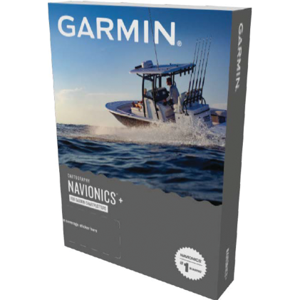
Garmin Navionics+ Marine Chart

Best high precision mapping for serious coastal and inland boaters.
This all-in-one mapping solution brings high-definition bathymetry and intelligent route guidance to your chartplotter. It simplifies navigation with real-time updates and customizable depth shading, ensuring you always have the most accurate data for coastal and inland waters.
$149.99
Who it's for
- Boaters seeking the most comprehensive and accurate navigational data available.
- Safety-conscious captains who prioritize having the most current maritime information.
- Coastal explorers navigating complex channels or unfamiliar shallow water environments.
Who should skip it
- Budget-conscious boaters who prefer a one-time purchase for their equipment.
- Owners of non-Garmin electronics looking for cross-platform mapping solutions.
- Remote mariners with limited or slow internet access at the dock.
Performance breakdown
Bathymetric Detail
High-definition contours provide exceptional clarity for identifying underwater structure and hazards.
Route Guidance
Automated dock-to-dock routing significantly reduces planning time for complex coastal passages.
Update Frequency
Wireless daily updates ensure your charts remain current with changing maritime conditions.
System Integration
Seamlessly syncs with Garmin plotters for a unified, responsive navigation experience.
Community Data
User-contributed layers add valuable, real-world insights to standard nautical charts.
Live Mapping
Real-time mapping creates custom contours instantly while you are on the water.
Key Specs
Area Covered
US East
Format
microSD card
Compatibility
Echomap UHD, Echomap Ultra, GPSmap series
SonarChart 1' HD bathymetry
Dock-to-dock route guidance
Plotter Sync
Know before you buy
Still have a question?
Ask Metto anything about the Garmin Navionics+ Marine Chart before you decide.